Project Updates
On Thursday, January 23, 2025 an in-person Public Hearing was held with a presentation on the Draft Environmental Impact Statement. A virtual Public Hearing with presentation was held on January 28, 2025. The meeting minutes, video presentation, and presentation materials are available to view.
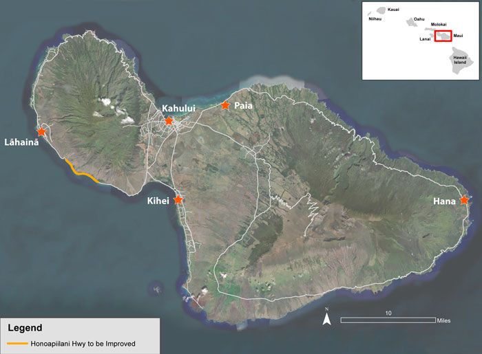
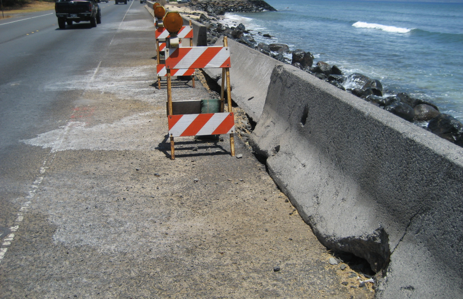
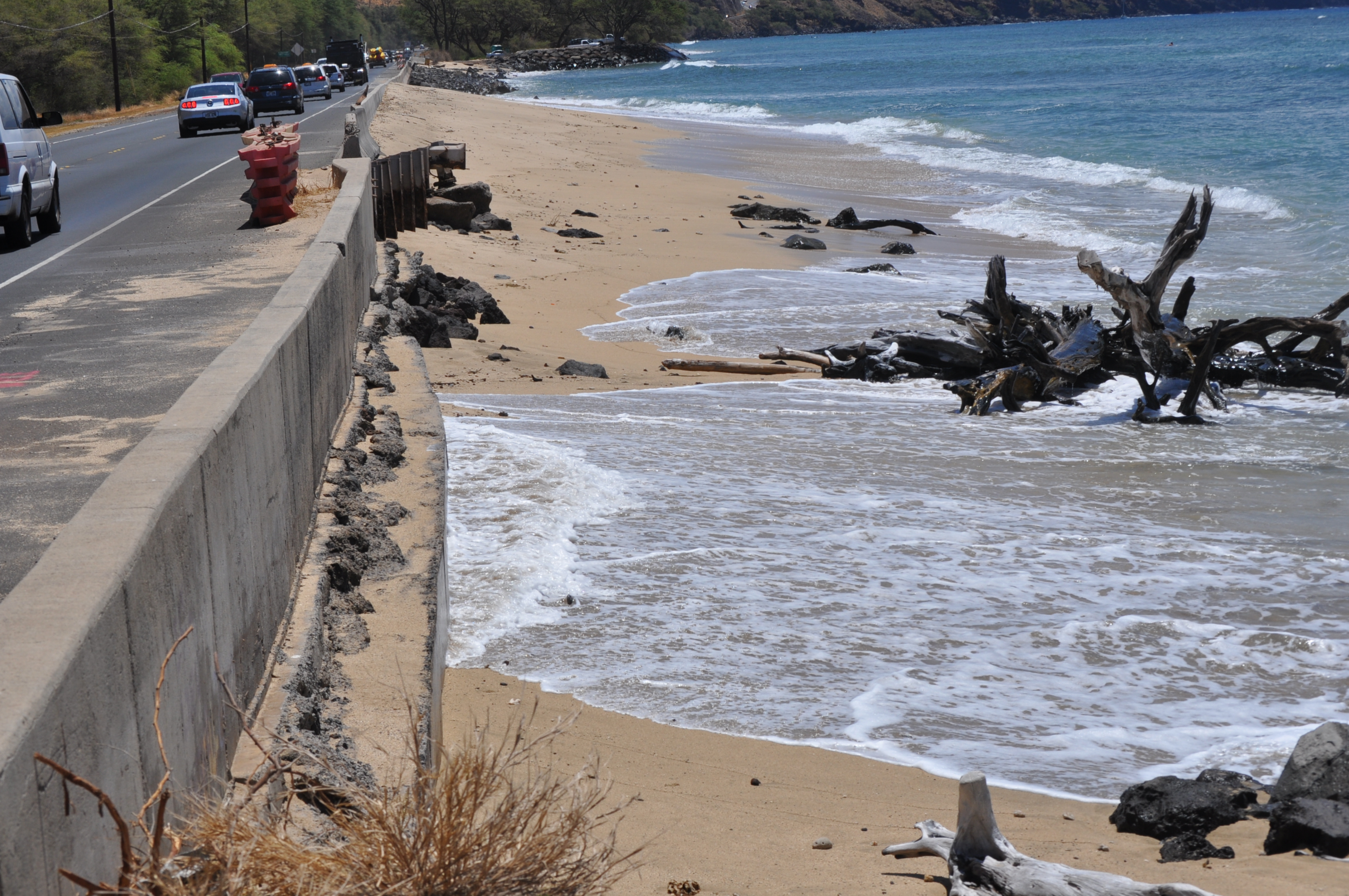
The Draft Environmental Impact Statement (DEIS) for the Honoapi‘ilani Highway Improvements project was signed by Federal Highway Administration (FHWA) and Hawai‘i Department of Transportation (HDOT), and is now available for review. It was published in The Environmental Notice on January 8, 2025 and the Federal Register on January 10, 2025.